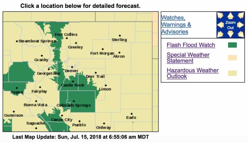
Flood Watch
National Weather Service Denver/Boulder CO
414 AM MDT Sun Jul 15 2018
...THUNDERSTORMS MAY PRODUCE LOCALLY HEAVY RAINFALL AND FLASH FLOODING THIS AFTERNOON AND EARLY EVENING...
.The combination of a cold front and deep subtropical moisture moving over the area will support thunderstorms and locally heavy rainfall this afternoon and evening.
Some of these storms will be capable of producing rainfall rates of 2 inches per hour. This may produce flash flooding in burn scars, even if storm duration only lasts 30 minutes. Portions of Douglas and Elbert counties may see more numerous thunderstorms and local rainfall amounts in excess of 2 or 3 inches, creating flash flooding. Urban areas along the I-25 Corridor may experience inundation of streets and underpasses should a stronger storm move across.
COZ035-036-041-151900-
/O.NEW.KBOU.FF.A.0004.180715T1800Z-180716T0300Z/
/00000.0.ER.000000T0000Z.000000T0000Z.000000T0000Z.OO/
Larimer and Boulder Counties Between 6000 and 9000 Feet-
Jefferson and West Douglas Counties Above 6000 Feet/Gilpin/Clear
Creek/Northeast Park Counties Below 9000 Feet-
Elbert/Central and East Douglas Counties Above 6000 Feet-
Including the cities of Estes Park, Glendevey, Nederland,
Red Feather Lakes,
Bailey, Central City, Evergreen, Georgetown,
Idaho Springs, Westcreek, Castle Rock, Elbert, Fondis, Kiowa,
and Larkspur
414 AM MDT Sun Jul 15 2018
...FLASH FLOOD WATCH IN EFFECT FROM NOON MDT TODAY THROUGH THIS EVENING...
The National Weather Service in Denver has issued a
* Flash Flood Watch for portions of central Colorado, north central Colorado, and northeast Colorado, including the following areas, in central Colorado, Jefferson and West Douglas Counties Above 6000 Feet/Gilpin/Clear Creek/Northeast Park Counties Below 9000 Feet. In north central Colorado, Larimer and Boulder Counties Between 6000 and 9000 Feet. In northeast Colorado, Elbert/Central and East Douglas Counties Above 6000 Feet.
*
From noon MDT today through 9 PM this evening
* Heavy rainfall from stronger thunderstorms will increase the risk of flash flooding, especially on burn scars and across the Palmer Divide area.
* Flash flooding and debris flows will be possible in or near burn scars, where as little as three quarters of an inch of rain can cause flooding.
PRECAUTIONARY/PREPAREDNESS ACTIONS...
A Flash Flood Watch means that conditions may develop that lead to flash flooding. Flash flooding is a very dangerous situation.
You should monitor later forecasts and be prepared to take action should Flash Flood Warnings be issued.