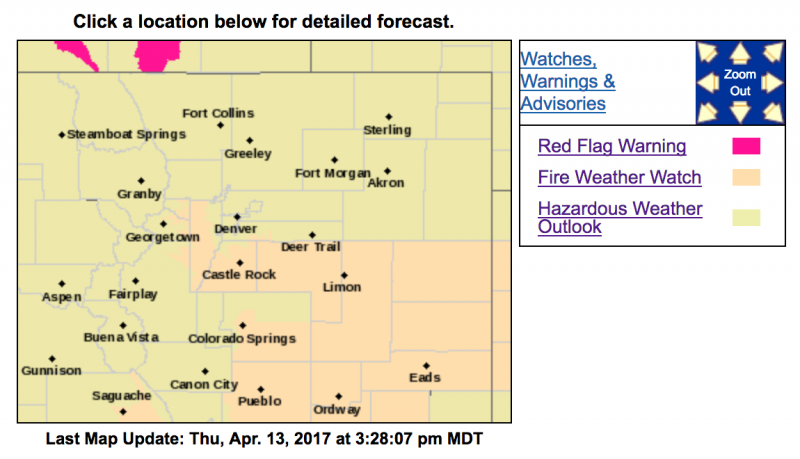
Fire Weather Watch
URGENT - FIRE WEATHER MESSAGE
National Weather Service Denver/Boulder CO
208 PM MDT Thu Apr 13 2017
...Red Flag conditions possible for areas on the plains south of
I-70 for Friday afternoon and evening...
COZ216-241-246-247-140415-
/O.NEW.KBOU.FW.A.0017.170414T1800Z-170415T0300Z/
Jefferson and West Douglas Counties Above 6000 Feet/Gilpin/Clear
Creek/Northeast Park Counties Below 9000 Feet-
Elbert/Central and East Douglas Counties Above 6000 Feet-
North and Northeast Elbert County Below 6000 Feet/North Lincoln
County-
Southeast Elbert County Below 6000 Feet/South Lincoln County-
208 PM MDT Thu Apr 13 2017
...
FIRE WEATHER WATCH IN EFFECT FROM FRIDAY AFTERNOON THROUGH
FRIDAY EVENING FOR WIND AND LOW RELATIVE HUMIDITY FOR THE PLAINS
OF NE COLORADO SOUTH OF I-70...
The National Weather Service in Denver has issued a Fire Weather
Watch FOR WIND AND LOW RELATIVE HUMIDITY...which is in effect
from Friday afternoon through Friday evening.
* Affected Area...Fire Weather Zones 216...241...246 and 247.
* Timing...Conditions will be elevated starting at noon and
continue through the evening hours
* Winds...Southwest 10 to 20 mph with gusts up to 30 mph.
* Relative Humidity...as low as 9 percent.
* Impacts...High temperatures combined with low relative humidity
values and gusty winds will result in high fire danger. These
conditions will allow for fast burning fires...especially in
grassy areas. Open burning, firework usage and other spark
sources are highly discouraged.
PRECAUTIONARY/PREPAREDNESS ACTIONS...
A Fire Weather Watch means that critical fire weather conditions
are forecast to occur. Listen for later forecasts and possible
Red Flag Warnings.