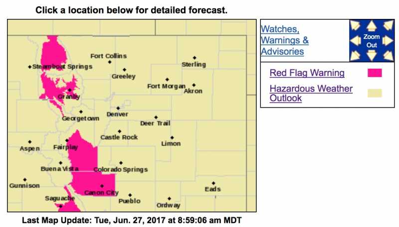
Red Flag Warning
URGENT - FIRE WEATHER MESSAGE
National Weather Service Denver/Boulder CO
349 PM MDT Mon Jun 26 2017
...INCREASING FIRE DANGER ON TUESDAY...
COZ211-213-214-271200-
/O.UPG.KBOU.FW.A.0019.170627T1800Z-170628T0300Z/
/O.NEW.KBOU.FW.W.0023.170627T1800Z-170628T0300Z/
Jackson County Below 9000 Feet-
Grand and Summit Counties Below 9000 Feet-
Central and Southeast Park County-
349 PM MDT Mon Jun 26 2017
...RED FLAG WARNING IN EFFECT FROM NOON TO 9 PM MDT TUESDAY FOR
GUSTY WINDS AND LOW RELATIVE HUMIDITY FOR FIRE WEATHER ZONES
211...213...AND 214...
The National Weather Service in Denver has issued a Red Flag
Warning FOR WIND AND LOW RELATIVE HUMIDITY...which is in effect
from noon to 9 PM MDT Tuesday. The Fire Weather Watch is no
longer in effect.
* Affected Area...The lower elevations of Jackson and Grand
counties and South Park...Fire Weather Zones 211...213 and 214.
* Timing...Tuesday...noon through 9 pm.
* Winds...West 10 to 20 mph with gusts up to 35 mph.
* Relative Humidity...as low as 11 percent.
* Impacts...Gusty winds and low relative humidity will result in
critical fire weather conditions.
PRECAUTIONARY/PREPAREDNESS ACTIONS...
A Red Flag Warning means that critical fire weather conditions
are either occurring now....or will shortly. A combination of
strong winds...low relative humidity...and warm temperatures can
contribute to extreme fire behavior.