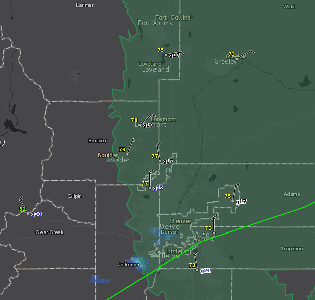
The National Weather Service in Denver has issued a Flash Flood Watch, effective until midnight. This watch includes some of our lower foothills communities, (see map). Our weather situation today includes ample moisture, an incoming cold front, low pressure to our south and favorable wind shear. This means strong, sustained thunderstorms are possible in the foothills this afternoon into tonight.
Flash floods are extremely dangerous, and probably the most under rated severe weather scenario. Heavy rain is possible this afternoon with some of the storms that will likely form in the foothills. Damaging wind and hail are also possible.
Regarding flash floods, do not drive through moving water or standing water. Creeks, streams and dry-washes are vulnerable to flash floods, as are forest fire burn-scar areas because the downpours cannot be absorbed quickly enough.
Flash floods are called flash floods because they happen extremely quickly and sometimes without warning. Heavy rain well away from you can cause a flash flood in your area. Monitor reliable weather sources, including the MyMountainTown website, where you can see warnings directly from NWS as they are issued. Thunderstorms will be possible again Thursday. -Meteorologist Steve Hamilton