The next round...
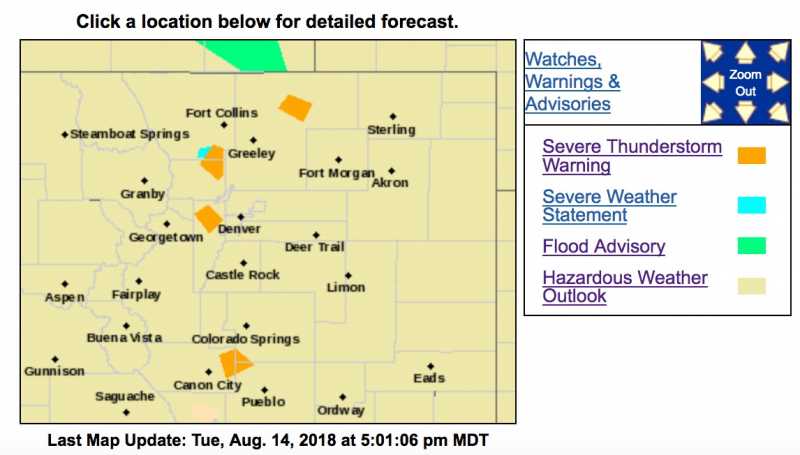
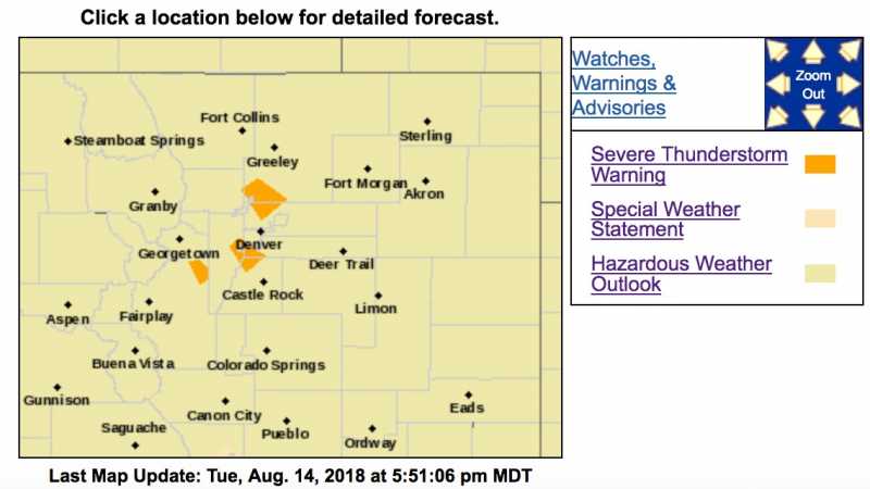
Severe Thunderstorm Warning
COC005-031-035-059-150030-
/O.NEW.KBOU.SV.W.0309.180814T2339Z-180815T0030Z/
BULLETIN - IMMEDIATE BROADCAST REQUESTED
Severe Thunderstorm Warning
National Weather Service Denver CO
539 PM MDT TUE AUG 14 2018
The National Weather Service in Denver Colorado has issued a
* Severe Thunderstorm Warning for...
North central Douglas County in northeastern Colorado...
Southwestern Arapahoe County in northeastern Colorado...
Southwestern Denver County in northeastern Colorado...
East central Jefferson County in central Colorado...
*
Until 630 PM MDT.
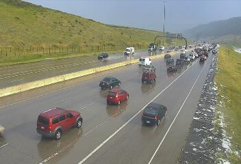
* At 538 PM MDT, a severe thunderstorm was located near Lakewood, or 9 miles southwest of Denver, moving southeast at 20 mph.
HAZARD...
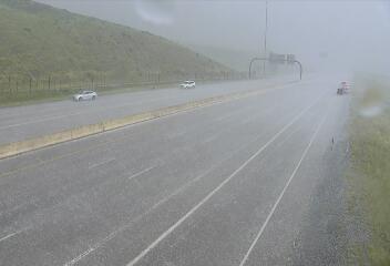
60 mph wind gusts, quarter size hail and heavy rain.
SOURCE...Radar indicated.
IMPACT...Expect damage to roofs, siding, and trees. Hail damage to vehicles is expected.
* Locations impacted include...
Southwestern Denver, southeastern Lakewood, Centennial, Highlands
Ranch, Littleton, Englewood, Greenwood Village, Lone Tree,
Sheridan, Morrison, Chatfield Reservoir and Louviers.
PRECAUTIONARY/PREPAREDNESS ACTIONS...
For your protection move to an interior room on the lowest floor of a building.
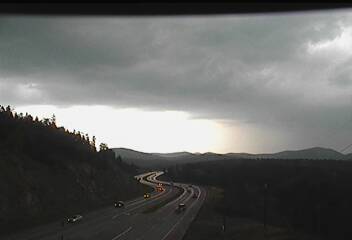
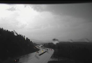
Torrential rainfall is occurring with this storm, and may lead to flash flooding. Do not drive your vehicle through flooded roadways.
Severe Thunderstorm Warning
COC093-150000-
/O.NEW.KBOU.SV.W.0307.180814T2308Z-180815T0000Z/
BULLETIN - IMMEDIATE BROADCAST REQUESTED
Severe Thunderstorm Warning
National Weather Service Denver CO
508 PM MDT TUE AUG 14 2018
The National Weather Service in Denver Colorado has issued a
* Severe Thunderstorm Warning for...
Northeastern Park County in central Colorado...
*
Until 600 PM MDT.
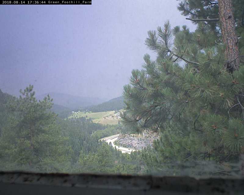
* At 507 PM MDT, a severe thunderstorm was located over Highland
Park, or 33 miles southwest of Denver, moving southeast at 10 mph.
HAZARD...
60 mph wind gusts, quarter size hail and heavy rain.
SOURCE...Radar indicated.
IMPACT...Expect damage to roofs, siding, and trees. Hail damage to vehicles is expected.
* Locations impacted include...
Highland Park, Bailey and Harris Park.
PRECAUTIONARY/PREPAREDNESS ACTIONS...
For your protection move to an interior room on the lowest floor of a building.
Torrential rainfall is occurring with this storm, and may lead to flash flooding. Do not drive your vehicle through flooded roadways.