This was called a Flash Flood Advisory on the scanner.
Special Weather Statement
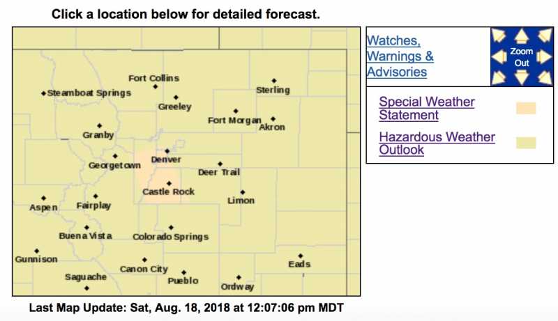
National Weather Service Denver CO
1133 AM MDT SAT AUG 18 2018
COZ036-039>041-181815-
Elbert/Central and East Douglas Counties Above 6000 Feet CO-
Boulder And Jefferson Counties Below 6000 Feet/West Broomfield County
CO-
North Douglas County Below 6000 Feet/Denver/West Adams and Arapahoe
Counties/East Broomfield County CO-
Jefferson and West Douglas Counties Above 6000 Feet/Gilpin/Clear
Creek/Northeast Park Counties Below 9000 Feet CO-
1133 AM MDT SAT AUG 18 2018
...
SIGNIFICANT WEATHER ADVISORY FOR DOUGLAS...WEST CENTRAL ELBERT...
WESTERN ARAPAHOE...EAST CENTRAL
CLEAR CREEK...DENVER...JEFFERSON AND
SOUTHWESTERN ADAMS COUNTIES UNTIL 1215 PM MDT...
At 1131 AM MDT,
Doppler radar was tracking thunderstorms along a line extending from Brookvale to near Perry Park, or along a line extending from 24 miles west of Denver to 29 miles north of Colorado Springs. Movement was east at 15 mph.
Winds in excess of 40 mph will be possible with these storms, and small hail is possible with the strongest parts of the storms across Douglas County.
Locations impacted include...
Denver, southwestern Aurora,
Lakewood, southern Thornton,
southeastern Arvada, southern Westminster, Centennial, Highlands
Ranch, Castle Rock, southwestern Commerce City, Parker,
Littleton,
Englewood, Wheat Ridge,
Golden, Greenwood Village, Evergreen, Lone
Tree,
Roxborough Park and Sheridan.
PRECAUTIONARY/PREPAREDNESS ACTIONS...
Cloud to ground lightning is occurring with these storms. Lightning can strike 10 miles away from a thunderstorm. Seek a safe shelter inside a building or vehicle.