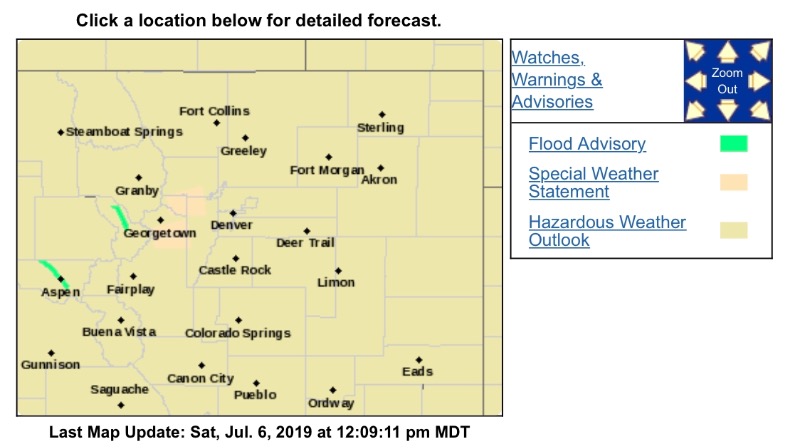
Special Weather Statement
National Weather Service Denver CO
1202 PM MDT Sat Jul 6 2019
COZ034-036-061845-
South and Southeast Grand/West Central and Southwest Boulder/Gilpin/Clear Creek/Summit/North and West Park Counties Above 9000 Feet CO-
Jefferson and West Douglas Counties Above 6000 Feet/
Gilpin/Clear Creek/Northeast Park Counties Below 9000 Feet CO-
1202 PM MDT Sat Jul 6 2019
...SPECIAL WEATHER STATEMENT...
At 1201 PM MDT, Doppler radar was tracking a strong thunderstorm over Guanella Pass, or 39 miles west of Denver, moving east at 15 mph.
Half inch hail and winds in excess of 30 mph will be possible with this storm.
Locations impacted include...
Evergreen, Highland Park, Blue Valley, Echo Lake, Guanella Pass, Mt Evans, Brookvale, Pine Junction, Harris Park, Floyd Hill and Grant.