From
Summit County Fire & EMS:
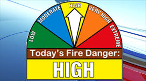
Well, we staved it off for a wonderfully long time this summer, but this morning our wildfire danger in Summit County climbed to HIGH. This is important: When the fire danger is "high," fires can start easily from most causes and small fuels (such as grasses and needles) will ignite readily. Unattended campfires and brush fires are likely to escape. Fires will spread easily, with some areas of high-intensity burning on slopes or concentrated fuels. Fires can become serious and difficult to control unless they are put out while they are still small. Please be careful and vigilant with all sources of heat -- campfires, exhaust pipes, etc.
This message is echoed by West Metro Fire, Evergreen Fire Rescue, Elk Creek Fire, and Platte Canyon Fire.
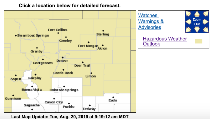
Hazardous Weather Outlook
National Weather Service Denver/Boulder CO
450 AM MDT Tue Aug 20 2019
COZ030>051-211100-
Jackson County Below 9000 Feet-
West Jackson and West Grand Counties Above 9000 Feet-
Grand and Summit Counties Below 9000 Feet-
South and East Jackson/Larimer/North and Northeast Grand/
Northwest Boulder Counties Above 9000 Feet-
South and Southeast Grand/West Central and Southwest Boulder/
Gilpin/Clear Creek/Summit/North and West Park Counties Above
9000 Feet-
Larimer and Boulder Counties Between 6000 and 9000 Feet-
Jefferson and West Douglas Counties Above 6000 Feet/Gilpin/Clear
Creek/Northeast Park Counties Below 9000 Feet-
Central and Southeast Park County-
Larimer County Below 6000 Feet/Northwest Weld County-
Boulder And Jefferson Counties Below 6000 Feet/West Broomfield County-
North Douglas County Below 6000 Feet/Denver/West Adams and
Arapahoe Counties/East Broomfield County-
Elbert/Central and East Douglas Counties Above 6000 Feet-
Northeast Weld County-Central and South Weld County-Morgan County-
Central and East Adams and Arapahoe Counties-
North and Northeast Elbert County Below 6000 Feet/North Lincoln County-
Southeast Elbert County Below 6000 Feet/South Lincoln County-
Logan County-Washington County-Sedgwick County-Phillips County-
450 AM MDT Tue Aug 20 2019
This hazardous weather outlook is for northeast and north central Colorado.
.DAY ONE...Today and Tonight
Near record high temperatures are expected again today along with very low humidity so fire danger will remain elevated over the higher terrain and along the front range.
For late this afternoon into this evening there will be a chance of thunderstorms especially across the plains. A few storms could become severe over the far northeast plains. Large hail and damaging winds will be possible. Otherwise the storms will be slow moving which may lead to some localized flooding in some areas as well. Across the higher terrain the storms will be high based and will produce gusty winds with light rainfall.
.DAYS TWO THROUGH SEVEN...Wednesday through Monday
There will be a good chance of afternoon and evening showers and thunderstorms for much of the forecast area Wednesday and Wednesday night. Scattered thunderstorm coverage is expected late day Thursday. Friday through Monday look to be mostly dry, with just a slight chance of late day showers and thunderstorms in the mountains. Temperatures will be a tad above seasonal normals Thursday onward.
.SPOTTER INFORMATION STATEMENT...
Spotter activation will not be needed today or tonight.