From Chief Meteorologist Steve Hamilton:
Breezy And Dry Into The Weekend...
High pressure will be passing north of Colorado for the next couple of days. This is a large system, and will be covering our state, and keeping things sunny, and occasionally gusty. As the high moves further east on Friday, we'll start to get return flow, increasing the wind speed for most of the foothills. Despite the cooler temperatures, wildfire danger will be moderate to high, and we may get another Red Flag Warning for parts of the foothills over the next few days. Precipitation chances will stay low through the upcoming weekend, with comfortable temperatures. Wind will stay breezy to gusty.
mymountaintown.com/expert-local-weather
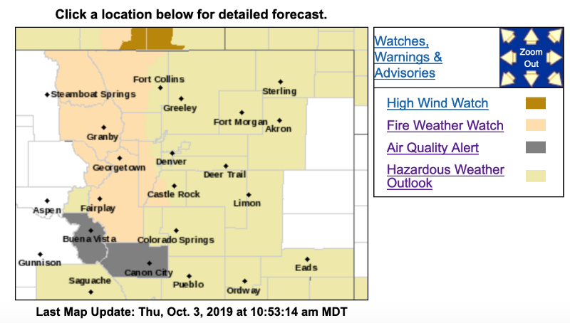
For now, the National Weather Service has issued a Fire Weather Watch
URGENT - FIRE WEATHER MESSAGE
National Weather Service Denver/Boulder CO
413 AM MDT Thu Oct 3 2019
...
CRITICAL FIRE WEATHER CONDITIONS WILL BE POSSIBLE FRIDAY IN THE MOUNTAINS AND FOOTHILLS...
Fire weather conditions will remain elevated in the mountains and foothills Friday afternoon into Friday evening due to gusty southwest winds and low humidity.
COZ211>218-031815-
/O.CON.KBOU.FW.A.0006.191004T1800Z-191005T0100Z/
Jackson County Below 9000 Feet-
South and Southeast Grand/West Central and Southwest Boulder/Gilpin/
Clear Creek/Summit/North and West Park Counties Above 9000 Feet-
Grand and Summit Counties Below 9000 Feet-
Central and Southeast Park County-
Larimer and Boulder Counties Between 6000 and 9000 Feet-
Jefferson and West Douglas Counties Above 6000 Feet/Gilpin/Clear Creek/Northeast Park Counties Below 9000 Feet-
West Jackson and West Grand Counties Above 9000 Feet-
South and East Jackson/Larimer/North and Northeast Grand/Northwest Boulder Counties Above 9000 Feet-
413 AM MDT Thu Oct 3 2019
...
FIRE WEATHER WATCH REMAINS IN EFFECT FROM FRIDAY AFTERNOON THROUGH FRIDAY EVENING FOR WIND AND LOW RELATIVE HUMIDITY FOR THE NORTH CENTRAL MOUNTAINS...HIGHER VALLEYS AND FOOTHILLS...
* Affected Area...Fire Weather Zones 211...212...213...214...215...216...217 and 218.
* Winds...Southwest 15 to 30 mph with gusts up to 60 mph.
* Timing...Friday afternoon and early evening.
* Relative Humidity...As low as 15 percent.
* Impacts...Conditions will be favorable for the rapid ignition, growth, and spread of fires.
PRECAUTIONARY/PREPAREDNESS ACTIONS...
A Fire Weather Watch means that critical fire weather conditions are forecast to occur. Listen for later forecasts and possible Red Flag Warnings.