Red Flag Warning
URGENT - FIRE WEATHER MESSAGE
National Weather Service Denver/Boulder CO
355 AM MDT Sat Oct 5 2019
...CRITICAL FIRE WEATHER CONDITIONS LATE THIS MORNING THROUGH EARLY THIS EVENING ACROSS THE MOUNTAINS AND NORTH PARK...
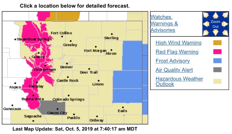
Lower humidity combined with gusty west winds up to 40 mph will lead to critical fire danger over the Mountains and North Park.
COZ211-212-218-051800-
/O.CON.KBOU.FW.W.0013.191005T1700Z-191006T0200Z/
Jackson County Below 9000 Feet-
South and Southeast Grand/West Central and Southwest Boulder/
Gilpin/
Clear Creek/Summit/North and West Park Counties Above
9000 Feet-
South and East Jackson/Larimer/North and Northeast Grand/Northwest Boulder Counties Above 9000 Feet-
355 AM MDT Sat Oct 5 2019
...
RED FLAG WARNING REMAINS IN EFFECT FROM 11 AM THIS MORNING TO 8 PM MDT THIS EVENING FOR WIND AND LOW RELATIVE HUMIDITY FOR THE MOUNTAINS AND NORTH PARK...
* Affected Area...Fire Weather Zones 211...212 and 218.
* Winds...West 15 to 25 mph with gusts up to 40 mph.
* Timing...11 am to 8 pm MDT Saturday.
* Relative Humidity...As low as 10 percent.
* Impacts...Conditions will be favorable for the rapid ignition, growth, and spread of fires.
PRECAUTIONARY/PREPAREDNESS ACTIONS...
A Red Flag Warning means that critical fire weather conditions are either occurring now....or will shortly. A combination of strong winds...low relative humidity...and warm temperatures can contribute to extreme fire behavior.