My Mountain Town Weather Update from Chief Meteorologist Steve Hamilton:
Reminder: Red Flag Warning Until 6:00 p.m. today. Gusty wind and low relative humidity combined with warm temperatures will cause wildfire risk to be high until this evening.
Warm And Windy, Followed By Wintry Weather...
It's time to prep for snow and cold temperatures. Before that, we'll have elevated to high wildfire risk, especially Wednesday. Ahead of a cold front, we'll be getting mild temperatures and gusty wind with dry air in the foothills. The strongest wind should occur on Wednesday, resulting in wildfire risk. The cold front is expected to arrive Wednesday night, with temperatures dropping sharply across our entire area after midnight. Moisture will come into the foothills behind the front, with an upslope flow getting set up. A mix of rain and snow is expected Wednesday evening, changing over to snow. Then Thursday, it looks like our first significant snowfall of the season will arrive. Snow could be heavy through Thursday, and we'll have accumulation estimates by Tuesday afternoon. Models suggest the snow will continue through Thursday evening. Friday looks cold and breezy.
mymountaintown.com/expert-local-weather
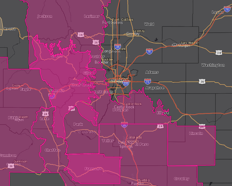
Red Flag Warning
URGENT - FIRE WEATHER MESSAGE
National Weather Service Denver/Boulder CO
451 AM MDT Tue Oct 8 2019
.Strong winds and very low relative humidity are expected across
most of the northern Colorado mountains this afternoon and again
on Wednesday afternoon. The worst conditions will be along and
north of Interstate 70 today, and along and south of Interstate 70
on Wednesday.
COZ212-213-082200-
/O.UPG.KBOU.FW.A.0008.191009T1800Z-191010T0000Z/
/O.NEW.KBOU.FW.W.0016.191009T1800Z-191010T0000Z/
/O.EXA.KBOU.FW.W.0015.191008T1600Z-191009T0000Z/
South and Southeast Grand/West Central and Southwest Boulder/Gilpin/
Clear Creek/Summit/North and West Park Counties Above 9000 Feet-
Grand and Summit Counties Below 9000 Feet-
451 AM MDT Tue Oct 8 2019
...RED FLAG WARNING IN EFFECT FROM 10 AM THIS MORNING TO 6 PM MDT THIS EVENING AND AGAIN FROM NOON TO 6 PM MDT WEDNESDAY FOR WIND AND LOW RELATIVE HUMIDITY FOR GRAND AND SUMMIT COUNTIES AND THE SURROUNDING MOUNTAINS...
The National Weather Service in Denver has issued a Red Flag Warning for wind and low relative humidity, which is in effect from 10 AM this morning to 6 PM MDT this evening. A Red Flag Warning has also been issued from noon to 6 PM MDT Wednesday. The Fire Weather Watch is no longer in effect.
* Affected Area...Fire Weather Zones 212 and 213.
* Winds...Southwest 10 to 20 mph with gusts up to 30 mph. Gusts of to 55 mph over the higher mountains on Wednesday afternoon.
* Timing...Tuesday from 10 am to 6 pm and Wednesday from Noon through 6pm.
* Relative Humidity...As low as 10 percent.
* Impacts...Conditions will be favorable for the rapid ignition, growth, and spread of fires.
PRECAUTIONARY/PREPAREDNESS ACTIONS...
A Red Flag Warning means that critical fire weather conditions are either occurring now....or will shortly. A combination of strong winds...low relative humidity...and warm temperatures can contribute to extreme fire behavior.