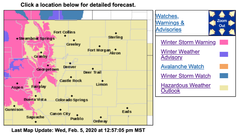
URGENT - WINTER WEATHER MESSAGE
National Weather Service Denver CO
207 AM MST Wed Feb 5 2020
...Prolonged period of heavy snow and strong winds in the north central mountains late tonight through Friday night...
COZ034-052300-
/O.UPG.KBOU.WS.A.0002.200206T0700Z-200208T0700Z/
/O.NEW.KBOU.WS.W.0002.200206T1200Z-200208T0700Z/ The Mountains of Summit County, the Mosquito Range, and the Indian Peaks-
Including the cities of Berthoud Pass, Breckenridge, East Slopes Mosquito Range, East Slopes Southern Gore Range, Eisenhower Tunnel, Indian Peaks, Kenosha Mountains, Mount Evans, Williams Fork Mountains, and Winter Park
207 AM MST Wed Feb 5 2020
...WINTER STORM WARNING IN EFFECT FROM 5 AM THURSDAY TO MIDNIGHT MST FRIDAY NIGHT...
* WHAT...Heavy snow expected. Total snow accumulations of 1 to 3 feet, heaviest over the higher northwest facing slopes. Winds gusting as high as 60 mph over the mountain passes.
* WHERE...The Mountains of Summit County, the Mosquito Range, and the Indian Peaks.
* WHEN...From 5 AM Thursday to midnight MST Friday night.
* IMPACTS...Travel could be very difficult to impossible. Widespread blowing snow could significantly reduce visibility. The hazardous conditions could impact the morning or evening commute. Very strong winds could cause extensive tree damage. The cold wind chills as low as 30 below zero could cause frostbite on exposed skin in as little as 30 minutes.
PRECAUTIONARY/PREPAREDNESS ACTIONS...
If you must travel, keep an extra flashlight, food, and water in your vehicle in case of an emergency.
The latest road conditions for the state you are calling from can be obtained by calling 5 1 1.