From Chief Meteorologist Steve Hamilton: A Rainy Start To The Week, Then Nice...
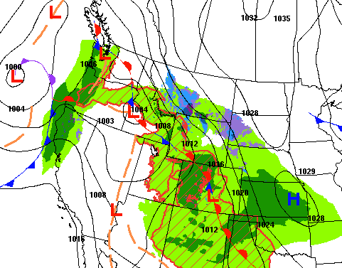
The weather pattern has been pretty interesting over the last couple of days. We have very warm air over the southwestern states, with cooler conditions in the plains and up into the Great Lakes and northeast. On Monday, a stationary front will form, stretching from the Northern Rockies down through Colorado and then into the Southern Plains. With the temperature disparity, and moist air in the area, we'll have a good chance of showers and afternoon thunderstorms for the foothills. The front will slide eastward Tuesday, and we'll be on the warm side of it, with temperatures getting a boost.
mymountaintown.com/expert-local-weather
Hazardous Weather Outlook
National Weather Service Denver/Boulder CO
343 AM MDT Mon May 11 2020
COZ030>051-120945-
Jackson County Below 9000 Feet-
West Jackson and West Grand Counties Above 9000 Feet-
Grand and Summit Counties Below 9000 Feet-
South and East Jackson/Larimer/North and Northeast Grand/Northwest Boulder Counties Above 9000 Feet-
South and Southeast Grand/West Central and Southwest Boulder/Gilpin/
Clear Creek/Summit/North and West Park Counties Above 9000 Feet-
Larimer and Boulder Counties Between 6000 and 9000 Feet-
Jefferson and West Douglas Counties Above 6000 Feet/Gilpin/Clear Creek/Northeast Park Counties Below 9000 Feet-
Central and Southeast Park County-
Larimer County Below 6000 Feet/Northwest Weld County-
Boulder And
Jefferson Counties Below 6000 Feet/West Broomfield County-
North Douglas County Below 6000 Feet/Denver/West Adams and
Arapahoe Counties/East Broomfield County-
Elbert/Central and East Douglas Counties Above 6000 Feet-
Northeast Weld County-Central and South Weld County-Morgan County-
Central and East Adams and Arapahoe Counties-
North and Northeast Elbert County Below 6000 Feet/North Lincoln County-
Southeast Elbert County Below 6000 Feet/South Lincoln County-
Logan County-Washington County-Sedgwick County-Phillips County-
343 AM MDT Mon May 11 2020
This hazardous weather outlook is for northeast and north central Colorado.
.DAY ONE...Today and Tonight
A storm system will move across the state. A mix of rain showers, snow showers and thunderstorms will occur in the mountains. Across the plains, scattered rain showers with a few embedded thunderstorms are expected. Much cooler temperatures will occur over the far northeast plains, with a mix of drizzle and light rain showers. Patchy fog will develop over the northeast plains late tonight.
In the mountains this afternoon and evening, a few stronger storms may produce frequent cloud to ground lightning, gusty outflow winds to 50 mph and small hail. Over the mountains and higher mountain passes, snow may occur at times, with 2 to 5 inches possible above 11 thousand feet.
.DAYS TWO THROUGH SEVEN...Tuesday through Sunday
Tuesday and Wednesday will be mainly dry. In the southern foothills and mountains valleys, gusty winds combined with low relative humidities will increase the fire danger. The weather pattern will become more active Thursday through Saturday with a chance for showers and thunderstorms each day.
.SPOTTER INFORMATION STATEMENT...
Spotter reports will not be needed today or tonight.