URGENT - FIRE WEATHER MESSAGE
National Weather Service Denver/Boulder CO
235 PM MDT Thu Jul 9 2020
COZ211-213>215-101200-
/O.NEW.KBOU.FW.W.0019.200710T1700Z-200711T0200Z/
Jackson County Below 9000 Feet-
Grand and Summit Counties Below 9000 Feet-
Central and Southeast Park County-
Larimer and Boulder Counties Between 6000 and 9000 Feet-
235 PM MDT Thu Jul 9 2020
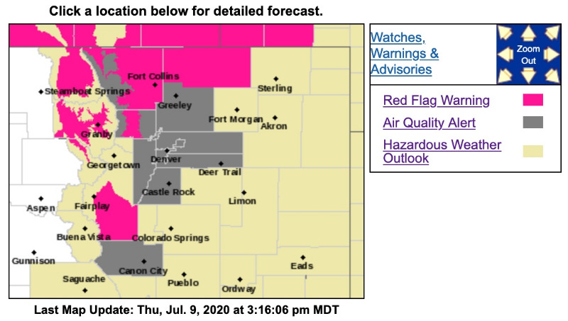
...RED FLAG WARNING IN EFFECT FROM 11 AM TO 8 PM MDT FRIDAY FOR WIND AND LOW RELATIVE HUMIDITY FOR North, Middle and South Parks below 9000 feet, and the Northern Front Range Foothills...
The National Weather Service in Denver has issued a Red Flag Warning FOR WIND AND LOW RELATIVE HUMIDITY, which is in effect from 11 AM to 8 PM MDT Friday.
* Affected Area...Fire Weather Zones 211...213...214 and 215.
* Winds...West 15 to 20 mph with gusts up to 30 mph.
* Timing...1100-2000 MDT Friday.
* Relative Humidity...As low as 8 percent.
* Impacts...Conditions will be favorable for ignition and rapid growth and spread of fires.
PRECAUTIONARY/PREPAREDNESS ACTIONS...
A Red Flag Warning means that critical fire weather conditions are either occurring now....or will shortly. A combination of strong winds...low relative humidity...and warm temperatures can contribute to extreme fire behavior.
URGENT - FIRE WEATHER MESSAGE
National Weather Service Denver/Boulder CO
225 AM MDT Fri Jul 10 2020
...CRITICAL FIRE DANGER CONDITIONS TODAY...
.A hot ridge of high pressure to our south combined with an increase in westerly flow aloft will bring critical fire danger to much of the northern Colorado mountains and high valleys today. Gusty winds and very low humidities are expected in the late morning through the afternoon hours, before winds gradually decrease early in the evening.
COZ211-213>215-101630-
/O.CON.KBOU.FW.W.0019.200710T1700Z-200711T0200Z/
Jackson County Below 9000 Feet-
Grand and Summit Counties Below 9000 Feet-
Central and Southeast Park County-
Larimer and Boulder Counties Between 6000 and 9000 Feet-
225 AM MDT Fri Jul 10 2020
...RED FLAG WARNING REMAINS IN EFFECT FROM 11 AM THIS MORNING TO 8 PM MDT THIS EVENING FOR WIND AND LOW RELATIVE HUMIDITY FOR NORTH, MIDDLE AND SOUTH PARKS BELOW 9000 FEET, AND THE NORTHERN FRONT RANGE FOOTHILLS...
* Affected Area...Fire Weather Zones 211...213...214 and 215.
* Winds...West 10 to 20 mph with gusts up to 30 mph.
* Timing...11 AM to 8 PM today.
* Relative Humidity...As low as 9 percent.
* Impacts...Conditions will be favorable for ignition and rapid growth and spread of fires.
PRECAUTIONARY/PREPAREDNESS ACTIONS...
A Red Flag Warning means that critical fire weather conditions are either occurring now....or will shortly. A combination of strong winds...low relative humidity...and warm temperatures can contribute to extreme fire behavior.