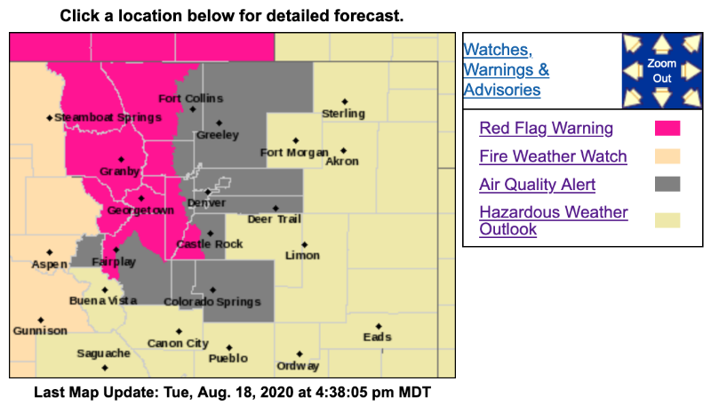
Red Flag Warning
URGENT - FIRE WEATHER MESSAGE
National Weather Service Denver/Boulder CO
327 PM MDT Tue Aug 18 2020
...INCREASING CHANCES OF THUNDERSTORMS WEDNESDAY...
.Moisture levels over northern Colorado are expected to increase slightly on Wednesday which will cause the chance of thunderstorms over the high country to also increase. Fuel moisture levels are very low in the mountain areas due to a lack of precipitation over the past several weeks. Recent forest fire activity in Larimer and Grand Counties demonstrates how dry the forests are.
As the chances of thunderstorms increases tomorrow, the chance of lightning starting additional fires will also increase.
COZ211>213-215>218-190530-
/O.UPG.KBOU.FW.A.0013.200819T1800Z-200820T0200Z/
/O.NEW.KBOU.FW.W.0021.200819T1800Z-200820T0200Z/
Jackson County Below 9000 Feet-
South and Southeast Grand/West Central and Southwest Boulder/Gilpin/
Clear Creek/Summit/North and West Park Counties Above 9000 Feet-
Grand and Summit Counties Below 9000 Feet-
Larimer and Boulder Counties Between 6000 and 9000 Feet-
Jefferson and West Douglas Counties Above 6000 Feet/Gilpin/Clear Creek/Northeast Park Counties Below 9000 Feet-
West Jackson and West Grand Counties Above 9000 Feet-
South and East Jackson/Larimer/North and Northeast Grand/Northwest Boulder Counties Above 9000 Feet-
327 PM MDT Tue Aug 18 2020
...
RED FLAG WARNING IN EFFECT FROM NOON TO 8 PM MDT WEDNESDAY FOR THUNDERSTORMS OVER THE NORTHERN MOUNTAINS AND HIGH PARKS...
The National Weather Service in Denver has issued a Red Flag Warning FOR THUNDERSTORMS POSSIBLY CAUSING FIRE STARTS, which is in effect from noon to 8 PM MDT Wednesday. The Fire Weather Watch is no longer in effect.
* Affected Area...Fire Weather Zones 211...212...213...215...216...217 and 218.
* Winds...North 5 to 10 mph.
* Timing...Wednesday afternoon into early evening.
* Impacts...Lightning and localized gusty winds from thunderstorms may cause new fire starts and rapid spread of fires.
* Thunderstorms...
Scattered thunderstorms are expected to move over the mountains, high parks and foothills Wednesday afternoon. They are not expected to produce much rainfall, so fuel moisture levels will remain very low.
PRECAUTIONARY/PREPAREDNESS ACTIONS...
A Red Flag Warning means that critical fire weather conditions are either occurring now....or will shortly. A combination of strong winds...low relative humidity...and warm temperatures can contribute to extreme fire behavior.