URGENT - FIRE WEATHER MESSAGE
National Weather Service Denver/Boulder CO
401 AM MDT Sun Oct 4 2020
...Critical Fire Weather Conditions expected on Monday for the higher elevations of the northern mountains, North Park and Middle Parks, and the northern plains...
.Increased flow along the Colorado-Wyoming border is expected to begin after midnight tonight as mountain wave enhancement of the winds is likely across the east slopes of the Front Range Mountains of Jackson and Larimer Counties. The strongest winds are expected before sunrise Monday and could gust to 50 mph in the most favored locations. There will also be poor relative humidity recovery over the Northern Front Range foothills tonight.
After sunrise, the rest of the area will see gradually increasing winds with strong mixing and full sun. Relative humidity will be below 15 percent and gusty winds are expected across the plains.
COZ211>213-217-238-242-248-250-251-041815-
/O.UPG.KBOU.FW.A.0019.201005T1200Z-201006T0000Z/
/O.NEW.KBOU.FW.W.0028.201005T1200Z-201006T0000Z/
Jackson County Below 9000 Feet-
South and Southeast Grand/West Central and Southwest Boulder/
Gilpin/
Clear Creek/Summit/North and West Park Counties Above 9000 Feet-
Grand and Summit Counties Below 9000 Feet-
West Jackson and West Grand Counties Above 9000 Feet-
Larimer County Below 6000 Feet/Northwest Weld County-
Northeast Weld County-Logan County-Sedgwick County-
Phillips County-
401 AM MDT Sun Oct 4 2020
...
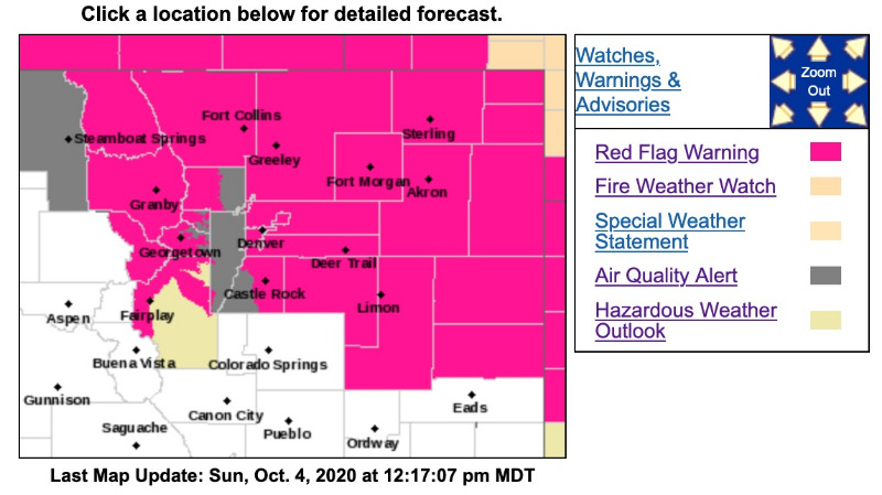
RED FLAG WARNING IN EFFECT FROM 6 AM TO 6 PM MDT MONDAY FOR WIND AND LOW RELATIVE HUMIDITY FOR REMAINDER OF NORTHERN MOUNTAINS...HIGH VALLEYS...AND FAR NORTHERN PLAINS...
The National Weather Service in Denver has issued a Red Flag Warning FOR WIND AND LOW RELATIVE HUMIDITY, which is in effect from 6 AM to 6 PM MDT Monday. The Fire Weather Watch is no longer in effect.
* Affected Area...Fire Weather Zones 211, 212, 213, 217, 238, 242, 248, 250 and 251.
* Timing...6 AM to 6 PM Monday
* Winds...Northwest 15 to 25 mph with gusts up to 35 mph.
* Relative Humidity...As low as 12 percent.
PRECAUTIONARY/PREPAREDNESS ACTIONS...
A Red Flag Warning means that critical fire weather conditions are either occurring now....or will shortly. A combination of strong winds...low relative humidity...and warm temperatures can contribute to extreme fire behavior.