URGENT - WINTER WEATHER MESSAGE
National Weather Service Denver/Boulder CO
121 PM MST Sat Nov 7 2020
COZ034-080430-
/O.NEW.KBOU.WW.Y.0026.201108T0700Z-201108T1700Z/
South and Southeast Grand/West Central and Southwest Boulder/Gilpin/Clear Creek/Summit/North and West Park Counties Above 9000 Feet-
Including Berthoud Pass, Breckenridge, East Slopes Mosquito Range, East Slopes Southern Gore Range, Eisenhower Tunnel, Indian Peaks, Kenosha Mountains, Mount Evans, Williams Fork Mountains, and Winter Park
121 PM MST Sat Nov 7 2020
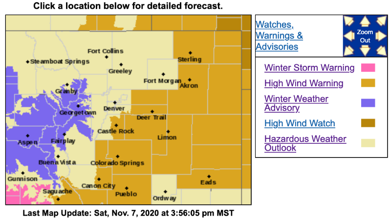
...WINTER WEATHER ADVISORY IN EFFECT FROM MIDNIGHT TONIGHT TO 10 AM MST SUNDAY...
* WHAT...Snow with areas of blowing snow expected. Total snow accumulations of 2 to 6 inches. Winds gusting as high as 65 mph, strongest above timberline.
* WHERE...The Mountains of Summit County, the Mosquito Range, and the Indian Peaks.
* WHEN...From midnight tonight to 10 AM MST Sunday.
* IMPACTS...Plan on slippery road conditions. Areas of blowing snow could significantly reduce visibility. Strong winds could cause tree damage.
PRECAUTIONARY/PREPAREDNESS ACTIONS...
Slow down and use caution while traveling.
The latest road conditions for the state you are calling from can be obtained by calling 5 1 1.