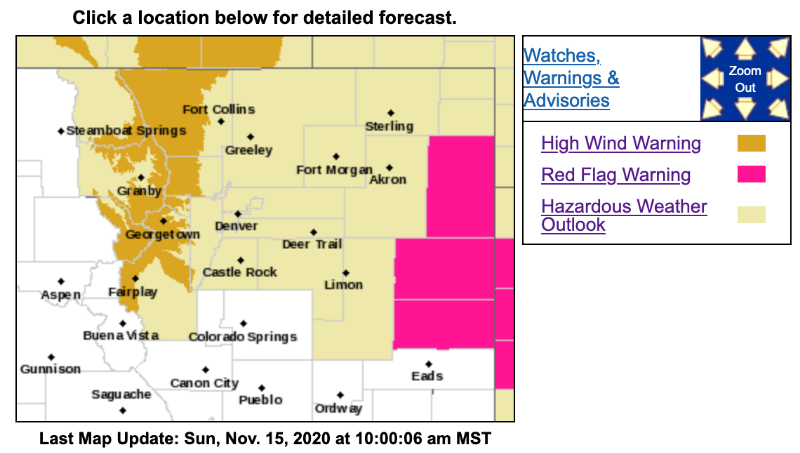
High Wind Warning
URGENT - WEATHER MESSAGE
National Weather Service Denver/Boulder CO
434 AM MST Sun Nov 15 2020
COZ033-034-160000-
/O.CON.KBOU.HW.W.0011.000000T0000Z-201116T0000Z/
South and East Jackson/Larimer/North and Northeast Grand/Northwest Boulder Counties Above 9000 Feet-
South and Southeast Grand/West Central and Southwest Boulder/Gilpin/
Clear Creek/Summit/North and West Park Counties Above 9000 Feet-
Including Cameron Pass, Laramie and Medicine Bow Mountains, Rabbit Ears Range, Rocky Mountain National Park, Willow Creek Pass,
Berthoud Pass, Breckenridge, East Slopes Mosquito Range, East Slopes Southern Gore Range, Eisenhower Tunnel, Indian Peaks, Kenosha Mountains, Mount Evans, Williams Fork Mountains, and Winter Park
434 AM MST Sun Nov 15 2020
...
HIGH WIND WARNING REMAINS IN EFFECT UNTIL 5 PM MST THIS AFTERNOON...
* WHAT...West winds 25 to 40 mph with gusts up to 75 mph.
* WHERE...The Mountains of Summit County, the Mosquito Range, and the Indian Peaks and Rocky Mountain National Park and the Medicine Bow Range.
* WHEN...Until 5 PM MST this afternoon.
* IMPACTS...Strong winds will blow unsecured objects around. Tree limbs could be blown down and a few power outages may result. Travel will be difficult for high profile vehicles.
* ADDITIONAL DETAILS...This will impact the high peaks and eastern slopes of the Front Range mountains. Blowing snow will reduce visibility.
PRECAUTIONARY/PREPAREDNESS ACTIONS...
Strong winds may lead to property damage. Hazardous driving conditions due to powerful cross winds will pose a serious risk for drivers, especially for light weight and high profile vehicles. Loose outdoor items should be brought inside or secured properly.