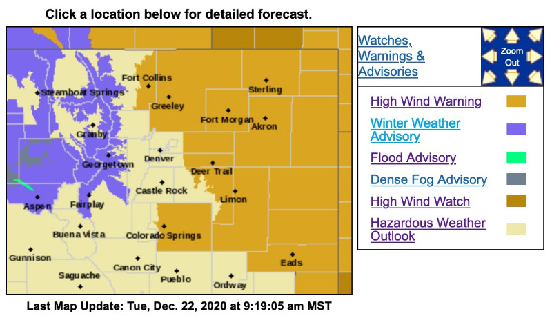
Winter Weather Advisory
URGENT - WINTER WEATHER MESSAGE
National Weather Service Denver/Boulder CO
1223 PM MST Tue Dec 22 2020
COZ031-033-034-230730-
/O.CON.KBOU.WW.Y.0030.201222T2100Z-201223T1800Z/
West Jackson and West Grand Counties Above 9000 Feet-
South and East Jackson/Larimer/North and Northeast Grand/Northwest Boulder Counties Above 9000 Feet-
South and Southeast Grand/West Central and Southwest Boulder/Gilpin/
Clear Creek/Summit/North and West Park Counties Above 9000 Feet-
Including Mt Zirkel, Cameron Pass, Laramie and Medicine Bow Mountains, Rabbit Ears Range, Rocky Mountain National Park, Willow Creek Pass,
Berthoud Pass, Breckenridge, East Slopes Mosquito Range, East Slopes Southern Gore Range, Eisenhower Tunnel, Indian Peaks, Kenosha Mountains, Mount Evans, Williams Fork Mountains, and Winter Park
1223 PM MST Tue Dec 22 2020
...
WINTER WEATHER ADVISORY REMAINS IN EFFECT UNTIL 11 AM MST WEDNESDAY...
* WHAT...Snow expected.
Total snow accumulations of 4 to 8 inches. Winds gusting as high as 65 mph.
* WHERE...Rabbit Ears Pass, Rocky Mountain National Park and the Medicine Bow Range, and The Mountains of Summit County, the Mosquito Range, and the Indian Peaks.
* WHEN... Now through 11 AM MST Wednesday.
* IMPACTS...Travel could be very difficult. Widespread blowing snow could significantly reduce visibility. The hazardous conditions could impact the Tuesday evening and Wednesday morning commutes. Roads, will become slick and hazardous.
PRECAUTIONARY/PREPAREDNESS ACTIONS...
Slow down and use caution while traveling. The latest road conditions for the state you are calling from can be obtained by calling 5 1 1.