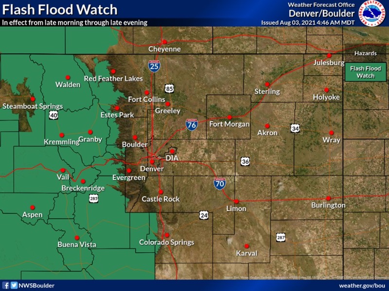
NWS: Flash flood watch for much of the high country today. Burn scars will be under the gun once again so please ensure you have a way to receive warnings if you are in or near one of these burn areas today. #COWX
Flood Watch
National Weather Service Denver CO
341 AM MDT Tue Aug 3 2021
COZ030>034-037-031745-
/O.NEW.KBOU.FF.A.0009.210803T1600Z-210804T0400Z/
/00000.0.ER.000000T0000Z.000000T0000Z.000000T0000Z.OO/
Jackson County Below 9000 Feet-
West Jackson and West Grand Counties Above 9000 Feet-
Grand and Summit Counties Below 9000 Feet-
South and East Jackson/Larimer/North and Northeast Grand/Northwest Boulder Counties Above 9000 Feet-
South and Southeast Grand/West Central and Southwest Boulder/Gilpin/
Clear Creek/Summit/North and West Park Counties Above 9000 Feet-
Central
and Southeast Park County-
Including the cities of North Park, Hartsel, Rocky Mountain National Park, Mt Zirkel, Laramie and Medicine Bow Mountains, Breckenridge, Williams Fork Mountains, Indian Peaks, Eisenhower Tunnel, Kremmling,
East Slopes Southern Gore Range, Mount Evans, Fairplay, Grand Lake, Cameron Pass, East Slopes Mosquito Range, Berthoud Pass, Winter Park,
South Park, Granby, Hot Sulphur Springs, Kenosha Mountains, Gould, Willow Creek Pass, Spicer, Rand, Dillon, Fraser, Walden,
Lake George, and Rabbit Ears Range
341 AM MDT Tue Aug 3 2021
...
FLASH FLOOD WATCH IN EFFECT FROM 10 AM MDT THIS MORNING THROUGH THIS EVENING...
The National Weather Service in Denver has issued a
* Flash Flood Watch for Portions of central and north central Colorado, including the following areas, in central Colorado, Central and Southeast Park County, Grand and Summit Counties Below 9000 Feet and South and Southeast Grand/West Central and Southwest Boulder/Gilpin/Clear Creek/Summit/North and West Park Counties Above 9000 Feet. In north central Colorado, Jackson County Below 9000 Feet, South and East Jackson/Larimer/North and Northeast Grand/Northwest Boulder Counties m Above 9000 Feet and West Jackson and West Grand Counties Above 9000 Feet.
* From 10 AM MDT this morning through this evening.
* Slow moving thunderstorms capable of generating heavy rains are expected to occur off and on from late this morning into this evening.
* Burn scars in Grand County are at an elevated risk of flash flooding and debris flows, though there is potential for flash flooding to occur across the area.
PRECAUTIONARY/PREPAREDNESS ACTIONS...
Turn around, don`t drown when encountering flooded roads. Most flood deaths occur in vehicles.
Move away from recently burned areas. Life-threatening flooding of creeks, roads and normally dry gulches is likely. The heavy rains will likely trigger rockslides, mudslides and debris flows in steep terrain.