URGENT - WINTER WEATHER MESSAGE
National Weather Service Denver/Boulder CO
212 PM MDT Sun Apr 24 2022
COZ034-251200-
/O.CON.KBOU.WW.Y.0022.000000T0000Z-220425T1200Z/
South and Southeast Grand/West Central and Southwest Boulder/ Gilpin/Clear Creek/Summit/North and West Park Counties Above 9000 Feet-
Including Berthoud Pass, Breckenridge, East Slopes Mosquito Range, East Slopes Southern Gore Range, Eisenhower Tunnel, Indian Peaks, Kenosha Mountains, Mount Evans, Williams Fork Mountains, and Winter Park
212 PM MDT Sun Apr 24 2022
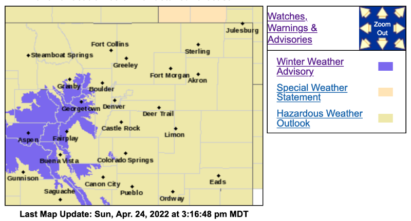
...WINTER WEATHER ADVISORY REMAINS IN EFFECT UNTIL 6 AM MDT MONDAY...
* WHAT...Snow. Additional snow accumulations of 4 to 9 inches.
* WHERE...The Mountains of Summit County, the Mosquito Range, and the Indian Peaks.
* WHEN...Until 6 AM MDT Monday.
* IMPACTS...Travel could be very difficult.
PRECAUTIONARY/PREPAREDNESS ACTIONS...
Slow down and use caution while traveling.
The latest road conditions for the state you are calling from can be obtained by calling 5 1 1.