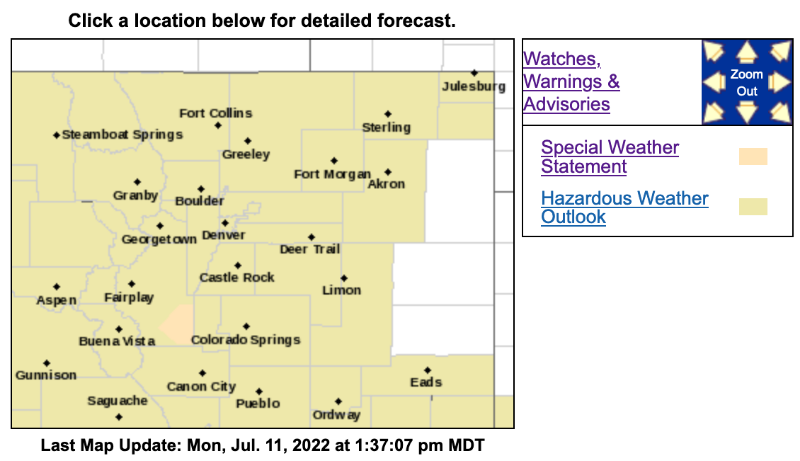
Special Weather Statement
National Weather Service Denver CO
139 PM MDT Mon Jul 11 2022
COZ037-112030-
Central and Southeast Park County CO-
139 PM MDT Mon Jul 11 2022
...
A strong thunderstorm will impact portions of southeastern Park County through 230 PM MDT...
At 138 PM MDT, Doppler radar was tracking a strong thunderstorm 7 miles southwest of Wilkerson Pass, or 46 miles west of Colorado Springs, moving northeast at 35 mph.
HAZARD...
Winds in excess of 40 mph and pea size hail.
SOURCE...Radar indicated.
IMPACT...Gusty winds could knock down tree limbs and blow around unsecured objects. Minor damage to outdoor objects is possible.
Locations impacted include...Wilkerson Pass.
PRECAUTIONARY/PREPAREDNESS ACTIONS...
If outdoors, consider seeking shelter inside a building.
Torrential rainfall is also occurring with this storm and may lead to localized flooding. Do not drive your vehicle through flooded roadways.
Persons in campgrounds should consider seeking sturdy shelter until this storm passes.
&&
LAT...LON 3897 10574 3916 10561 3911 10542 3910 10541
3910 10540 3909 10535 3888 10566
TIME...MOT...LOC 1938Z 203DEG 31KT 3897 10562
MAX HAIL SIZE...0.25 IN
MAX WIND GUST...40 MPH