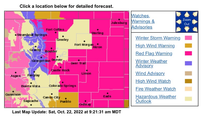
Red Flag Warning
URGENT - FIRE WEATHER MESSAGE
National Weather Service Denver/Boulder CO
926 AM MDT Sat Oct 22 2022
COZ215-216-238-239-241-245>251-230100-
/O.CON.KBOU.FW.W.0039.221022T1700Z-221023T0100Z/
Larimer and Boulder Counties Between 6000 and 9000 Feet-
Jefferson and West Douglas Counties Above 6000 Feet/Gilpin/Clear Creek/Northeast Park Counties Below 9000 Feet-
Larimer County Below 6000 Feet/Northwest Weld County-
Boulder And Jefferson Counties Below 6000 Feet/West Broomfield County-Elbert/Central and East Douglas Counties Above 6000 Feet-
Central and East Adams and Arapahoe Counties-
North and Northeast Elbert County Below 6000 Feet/North Lincoln County-
Southeast Elbert County Below 6000 Feet/South Lincoln County-
Logan County-Washington County-Sedgwick County-Phillips County-
926 AM MDT Sat Oct 22 2022
...
RED FLAG WARNING REMAINS IN EFFECT UNTIL 7 PM MDT THIS EVENING FOR WIND AND LOW RELATIVE HUMIDITY FOR THE FRONT RANGE FOOTHILLS AND PORTIONS OF THE NORTHEAST PLAINS...
* Affected Area...Fire Weather Zones 215, 216, 238, 239, 241, 245, 246, 247, 248, 249, 250 and 251.
* Timing...11 AM this morning until 7 PM MDT this evening.
* Winds...Southwest 10 to 20 mph with gusts up to 35 mph.
* Relative Humidity...As low as 10 percent.
* Impacts...There is high potential for rapid fire spread and extreme fire behavior.
PRECAUTIONARY/PREPAREDNESS ACTIONS...
A Red Flag Warning means that critical fire weather conditions are either occurring now....or will shortly. A combination of strong winds...low relative humidity...and warm temperatures can contribute to extreme fire behavior.