From MMT Chief Meteorologist Steve Hamilton:
UPDATE: My Mountain Town Weather
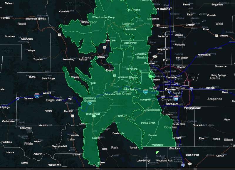
Strong Wind Expected Tuesday... (Green on map)
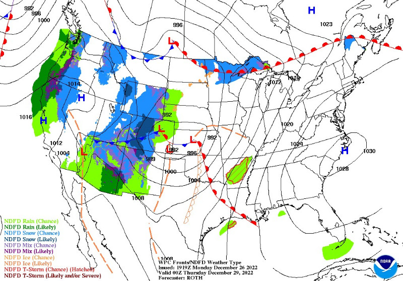
High pressure will strengthen over Central Colorado early Tuesday, creating a steep pressure gradient between the mountains and the eastern plains.
That adds up to strong wind across the foothills. Wind will be from the west at 30 to 40 mph, however, gusts up to 80 mph are possible in the more wind-prone areas.
Tree and power line damage is possible, as well as travel difficulties, especially for trucks and high profile vehicles.
High Wind Watch
URGENT - WEATHER MESSAGE
National Weather Service Denver CO
130 PM MST Mon Dec 26 2022
COZ033>036-271200-
/O.NEW.KBOU.HW.A.0010.221227T1500Z-221228T0300Z/
South and East Jackson/Larimer/North and Northeast Grand/Northwest Boulder Counties Above 9000 Feet-South and Southeast Grand/West Central and Southwest Boulder/Gilpin/
Clear Creek/Summit/North and West Park Counties Above 9000 Feet-Larimer and Boulder Counties Between 6000 and 9000 Feet-
Jefferson and West Douglas Counties Above 6000 Feet/Gilpin/Clear Creek/Northeast Park Counties Below 9000 Feet-
Including the cities of Bailey, Breckenridge, Georgetown, Willow Creek Pass, Rocky Mountain National Park,
East Slopes Mosquito Range, Glendevey,
Eisenhower Tunnel, Estes Park, Laramie and Medicine Bow Mountains, Westcreek, Winter Park,
Evergreen, Rabbit Ears Range, Berthoud Pass,
Mount Evans, Kenosha Mountains, East Slopes Southern Gore Range, Cameron Pass, Nederland,
Idaho Springs, Red Feather Lakes, Central City, Indian Peaks, and Williams Fork Mountains
130 PM MST Mon Dec 26 2022
...
HIGH WIND WATCH IN EFFECT FROM TUESDAY MORNING THROUGH TUESDAY EVENING...
* WHAT...
West winds 30 to 40 mph, with gusts up to 80 mph possible in the Front Range mountains and higher foothills.
* WHERE...Rocky Mountain National Park and the Medicine Bow Range, the Indian Peaks, Northern Front Range Foothills, and Southern Front Range Foothills.
* WHEN...From Tuesday morning through Tuesday evening.
* IMPACTS...Damaging winds could blow down trees and power lines. Local power outages are possible. Travel could be difficult, especially for high profile vehicles.
PRECAUTIONARY/PREPAREDNESS ACTIONS...
Monitor the latest forecasts and warnings for updates.
For more information from the National Weather Service, visit
weather.gov/bou